Utterly enchanting, in a unique and magical setting (an old mushroom farm tunnel in the beautiful, wooded Midlands Meander). This is hands-down one of the best bookstores I've ever perused (I'm serious about books and work for a major publishing house).
The selection is incredible; I visited from Oxford (England) and was amazed at the very old, rare and precious gems on offer - books that would be snaffled up by auctioneers and collectors too quickly to even set eyes upon in the UK are waiting here at unbelievably good prices.
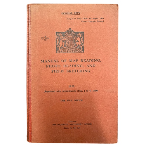
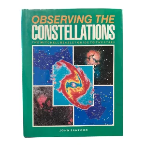
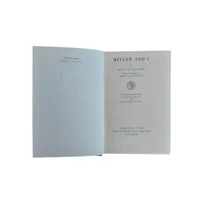
There is something for every interest and price point; this is both a solid second-hand bookshop as well as collectible store. The owner was so friendly and took time to show my family and I some of the oldest, largest, and most unusual items in the collection. We were dazzled by a poetry book from the Renaissance period; signed first editions of books from authors as diverse as Douglas Adams and Muhammed Ali; antique children's illustrated books and even a hand-coloured illustrated South African bird book. The owner also had an impressive coin / currency collection which was fascinating to view.
If the literature or objets d'art were not enough, there was also a delightfully cosy dog (pictured) - irresistible! I walked away a very happy customer and will go out my way to visit again when I'm next in South Africa.