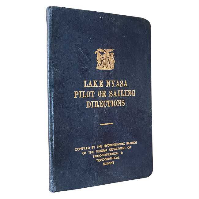
Lake Nyasa Pilot or Sailing Directions is a scarce and fascinating hydrographic publication produced by the Hydrographic Branch of the Federal Department of Trigonometrical and Topographical Surveys during the era of the Federation of Rhodesia and Nyasaland. Intended as an official navigational guide for vessels operating on Lake Nyasa, this work provides detailed sailing directions, harbour information, coastal descriptions, navigational hazards, recommended routes, beacon locations, depths, shoals, and practical guidance for mariners traversing one of Africa’s great inland lakes.
Covering locations including Monkey Bay, Fort Johnston, Kota Kota, Nkata Bay, Mbenji Islands and numerous other ports and landmarks, Lake Nyasa Pilot or Sailing Directions offers an exceptional snapshot of navigation, transport infrastructure and geographic knowledge in mid-20th-century Central Africa. Richly illustrated with photographic plates and enhanced by two fold-out charts, the work combines technical utility with considerable historical interest.
Today, publications of this nature appeal not only to maritime historians and hydrographic collectors but also to those interested in Malawi, former Nyasaland, Rhodesiana, colonial Africa, exploration, cartography and transport history. Official government-issued navigation manuals were generally produced in relatively limited numbers and many were heavily used aboard vessels, making well-preserved examples increasingly difficult to locate.
Lake Nyasa Pilot or Sailing Directions is bound in the original dark blue semi-flexible boards with crisp gilt titling and crest to the upper cover. The binding remains attractive and presentable, while the interior extends to 122 pages and is in near fine condition. Numerous photographic plates are present throughout, including two desirable fold-out illustrations/charts. A highly collectible and increasingly elusive piece of African maritime and hydrographic history.
Condition – Near Fine
Original dark blue semi-flexible boards with bright gilt titling and crest. Minor shelf wear only. Internally exceptionally clean and well preserved. Complete with numerous photographic plates and two fold-out charts.